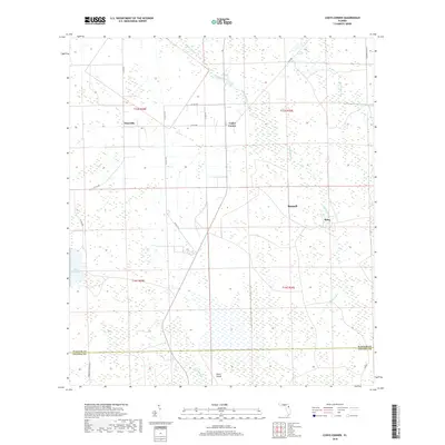
2018 Map of Codys Corner
USGS Topo · Published 2018About this map
Bunnell and the surrounding wetland corridors of Flagler County are meticulously documented in this 2018 survey. The landscape is defined by the winding passage of Middle Haw Creek and its many tributaries, such as Sweetwater Br, which drain the low-lying terrain. Several small settlements and rural crossroads punctuate the map, including Codys Corner, Deanville, and Relay, each situated along a network of county roads like Co RD 305 and Co RD 304. To the southwest, the waters of Lake Disston provide a major geographic anchor near the county line. The map illustrates a region where timber and agricultural pursuits are governed by the hydrology of the land, visible in the prominent Heart Island formation and the various creeks that eventually feed toward the Atlantic coast. This modern topomap is an essential resource for understanding contemporary land use and the persistent rural character of this Florida interior.
Find a feature on this map
25 named features on this map. Tap any name to fly to it.
Don’t see what you’re looking for? This feature index may not catch every label — zoom into the map to look around manually.
Map Details
Editions of this 2018 Codys Corner Map
This is the sole edition of this map. No revisions or reprints were ever made.
Other maps of this area

1937 · Ormond
USGS Topo · 1:48,000

1944 · Ormond
USGS Topo · 1:62,500

1954 · Daytona Beach
USGS Topo · 1:250,000

1956 · Favoretta
USGS Topo · 1:24,000

1956 · Flagler Beach West
USGS Topo · 1:24,000

1958 · Daytona Beach
USGS Topo · 1:250,000

1962 · Daytona Beach NW
USGS Topo · 1:24,000

1964 · Daytona Beach
USGS Topo · 1:250,000

1970 · Seville
USGS Topo · 1:24,000
1970 · Bunnell
USGS Topo · 1:24,000