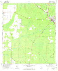
1970 Map of Bunnell
USGS Topo · Published 1973About this map
Bunnell serves as the primary hub of this 1970 landscape, where the Florida East Coast railway dictates the alignment of local development and infrastructure. The town core is detailed with local institutions, including the High School and a Hospital, while a Radio Tower stands just to the north. West of the town, the settlement of Bimini marks the edge of a vast drainage network that defines Flagler County's geography.
Find a feature on this map
19 named features on this map. Tap any name to fly to it.
Don’t see what you’re looking for? This feature index may not catch every label — zoom into the map to look around manually.
Map Details
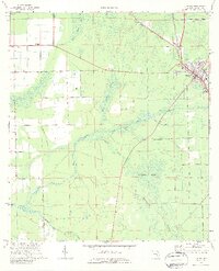
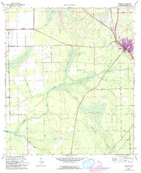
Editions of this 1970 Bunnell Map
3 editions found
Other maps of this area

1927 · Matanzas
USGS Topo · 1:48,000

1937 · Dinner Island
USGS Topo · 1:48,000

1937 · Ormond
USGS Topo · 1:48,000

1943 · Dinner Island
USGS Topo · 1:62,500

1943 · Matanzas
USGS Topo · 1:62,500

1944 · Ormond
USGS Topo · 1:62,500

1944 · Dinner Island
USGS Topo · 1:62,500

1944 · Matanzas
USGS Topo · 1:62,500

1954 · Daytona Beach
USGS Topo · 1:250,000

1956 · Favoretta
USGS Topo · 1:24,000