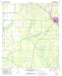
1970 Map of Bunnell
USGS Topo · Published 1993About this map
Bunnell serves as the primary hub of this Flagler County landscape, showing the town's expansion and infrastructure at the start of the 1970s. The map illustrates a community shaped by its waterways and wetlands, with the Parker Canal and Black Canal cutting through the low-lying terrain to manage the surrounding Sweetwater Swamp and Big Swamp. These drainage systems are central to the region's geography, allowing for agricultural use and settlement near the Relay State Wildlife Mgmt Area.
Find a feature on this map
19 named features on this map. Tap any name to fly to it.
Don’t see what you’re looking for? This feature index may not catch every label — zoom into the map to look around manually.
Map Details
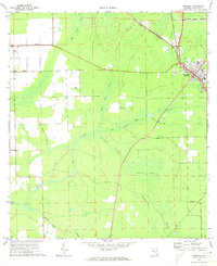
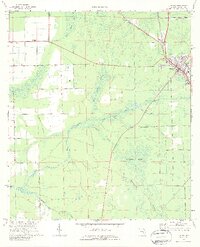
Editions of this 1970 Bunnell Map
3 editions found
Other maps of this area

1927 · Matanzas
USGS Topo · 1:48,000

1937 · Dinner Island
USGS Topo · 1:48,000

1937 · Ormond
USGS Topo · 1:48,000

1943 · Dinner Island
USGS Topo · 1:62,500

1943 · Matanzas
USGS Topo · 1:62,500

1944 · Ormond
USGS Topo · 1:62,500

1944 · Dinner Island
USGS Topo · 1:62,500

1944 · Matanzas
USGS Topo · 1:62,500

1954 · Daytona Beach
USGS Topo · 1:250,000

1956 · Favoretta
USGS Topo · 1:24,000