Loading...
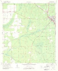
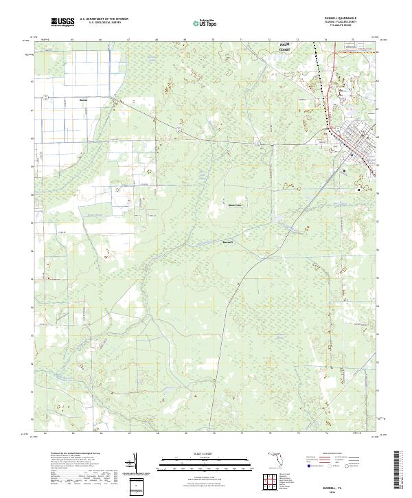
Loading map...1970 Map of Bunnell
USGS Topo · Published 1987About this map
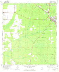
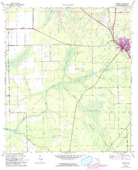
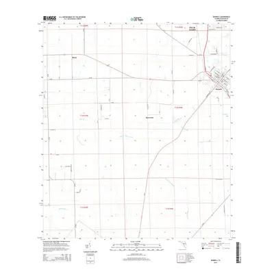
The settlement of Bunnell serves as the focal point of this 1970 landscape, anchored by the Florida East Coast railway and a network of essential town services including a Hospital and High Sch. To the west, the small community of Bimini sits along a straight corridor through the lowlands, marking the transition from municipal development to the extensive wetland systems that dominate the region.
Find a feature on this map
21 named features on this map. Tap any name to fly to it.
Don’t see what you’re looking for? This feature index may not catch every label — zoom into the map to look around manually.
Map Details
Date Portrayed1970
Date Published1987
PublisherU.S. Geological Survey
Map TypeTopographic
Scale1:24,000
Physical Dimensions21.94 x 27.04 inches
Editions of this 1970 Bunnell Map
3 editions found
Historical Maps of Palm Coast Through Time
6 maps found


Featured Locations
Source Details
SourceU.S. Geological Survey
CopyrightPublic Domain