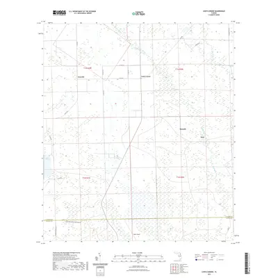
2021 Map of Codys Corner
USGS Topo · Published 2021About this map
Heart Island and its surrounding wetlands define the lower portion of this quadrangle, where the Flagler Co Volusia Co border cuts across a landscape dominated by conservation land and slow-moving water. The area is characterized by a sparse settlement pattern connected by a network of county roads, with the community of Bunnell and the smaller outpost of Relay situated along the eastern edge. Northward, the landscape transitions through Codys Corner and Deanville, where the drainage of Middle Haw Creek and Sweetwater Br feeds toward the western boundary.
Find a feature on this map
27 named features on this map. Tap any name to fly to it.
Don’t see what you’re looking for? This feature index may not catch every label — zoom into the map to look around manually.
Map Details
Editions of this 2021 Codys Corner Map
This is the sole edition of this map. No revisions or reprints were ever made.
Other maps of this area

1937 · Ormond
USGS Topo · 1:48,000

1944 · Ormond
USGS Topo · 1:62,500

1954 · Daytona Beach
USGS Topo · 1:250,000

1956 · Favoretta
USGS Topo · 1:24,000

1956 · Flagler Beach West
USGS Topo · 1:24,000

1958 · Daytona Beach
USGS Topo · 1:250,000

1962 · Daytona Beach NW
USGS Topo · 1:24,000

1964 · Daytona Beach
USGS Topo · 1:250,000

1970 · Seville
USGS Topo · 1:24,000
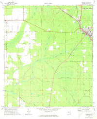
1970 · Bunnell
USGS Topo · 1:24,000