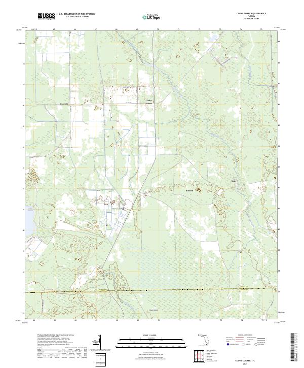
2024 Map of Codys Corner
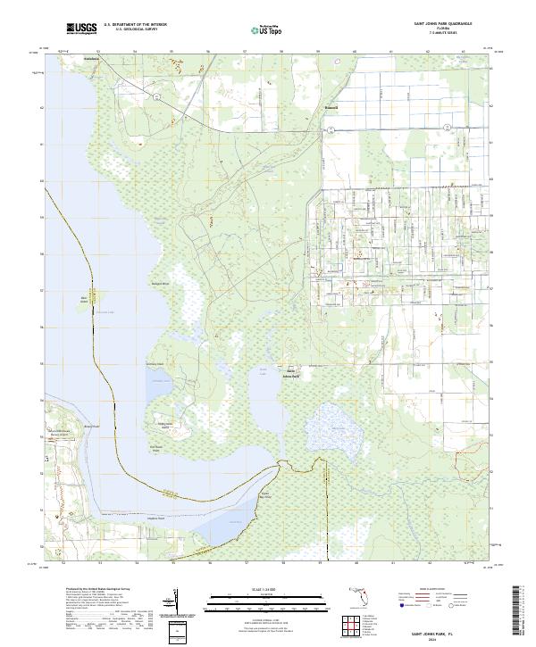
USGS Topo · Published 2024This historical map portrays the area of Codys Corner in 2024, primarily covering Flagler County as well as portions of Volusia County. Featuring a scale of 1:24000, this map provides a highly detailed snapshot of the terrain, roads, buildings, counties, and historical landmarks in the Codys Corner region at the time. Published in 2024, it is the sole known edition of this map.
Map Details
Editions of this 2024 Codys Corner Map
This is the sole edition of this map. No revisions or reprints were ever made.
Historical Maps of Codys Corner Through Time
20 maps found

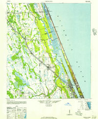
1927 Matanzas
Flagler County, FL

1937 Dinner Island
Flagler County, FL

1937 Ormond
Flagler County, FL

1943 Dinner Island
Flagler County, FL

1943 Matanzas
Flagler County, FL

1944 Dinner Island
Flagler County, FL

1944 Matanzas
Flagler County, FL
1944 Ormond
Flagler County, FL
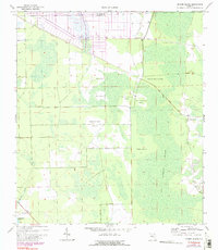
1956 Favoretta
Flagler County, FL
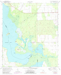
1956 Flagler Beach West
Flagler County, FL
1957 Espanola
Flagler County, FL
1970 Dinner Island
Flagler County, FL
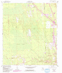
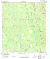
1972 Codys Corner
Flagler County, FL
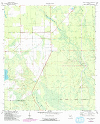
1972 St Johns Park
Flagler County, FL
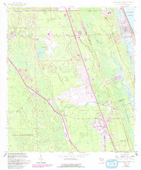
2024 Codys Corner
Flagler County, FL
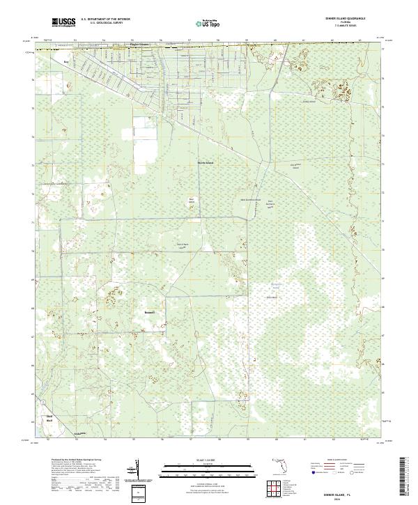
2024 Dinner Island
Flagler County, FL
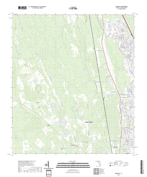
2024 Espanola
Flagler County, FL
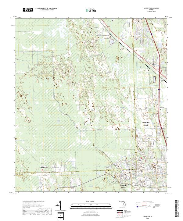
2024 Favoretta
Flagler County, FL
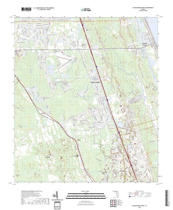
2024 Flagler Beach West
Flagler County, FL
2024 Saint Johns Park
Flagler County, FL