1981 Map of Coeur D'Alene
USGS Topo · Published 1982About this map
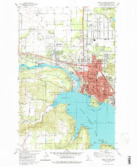
The Spokane River exits the northern tip of Coeur d'Alene Lake in this 1981 survey, illustrating a period of established residential and educational infrastructure. The city's northern expansion is evident in the residential grid of Dalton Gardens and the US Forest Service Nursery on the Rathdrum Prairie. Several prominent institutions are mapped, including North Idaho College near Independence Point and the Kootenai Mem Hospital. Industrial and transport footprints remain central to the landscape, with the Burlington Northern railroad skirting the riverbanks and numerous gravel operations near Huetter. The map also captures significant local landmarks like Tubbs Hill and several historic burial grounds, including St Thomas Cem and Forest Cem, providing a detailed look at the community's mid-century growth and civic organization.
Find a feature on this map
70 named features on this map. Tap any name to fly to it.
Don’t see what you’re looking for? This feature index may not catch every label — zoom into the map to look around manually.
Map Details
Editions of this 1981 Coeur D'Alene Map
2 editions found

Other maps of this area

1903 · Rathdrum
USGS Topo · 1:125,000

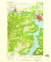
1955 · Spokane
USGS Topo · 1:250,000
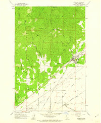
1957 · Coeur D'Alene
USGS Topo · 1:62,500
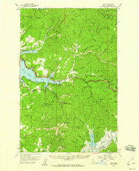
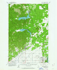
1957 · Lane
USGS Topo · 1:62,500

1958 · Spokane
USGS Topo · 1:250,000
1961 · Hayden
USGS Topo · 1:24,000
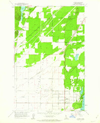
1961 · Rathdrum
USGS Topo · 1:24,000
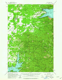
1961 · Spirit Lake
USGS Topo · 1:62,500
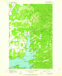
1961 · Athol
USGS Topo · 1:62,500
1961 · Hayden Lake
USGS Topo · 1:24,000