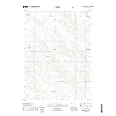
2017 Map of Coffee Mill Butte SE
USGS Topo · Published 2017About this map
The Nebraska National Forest extends into the northwestern corner of this Dawes County landscape, where the high plains terrain is defined by a network of drainage creeks and rural section roads. Watercourses such as Pepper Creek, Pebble Creek, and Cottonwood Creek carve through the topography, reflecting the essential role of water in this semi-arid ranching and agricultural region.
Find a feature on this map
20 named features on this map. Tap any name to fly to it.
Don’t see what you’re looking for? This feature index may not catch every label — zoom into the map to look around manually.
Map Details
Editions of this 2017 Coffee Mill Butte SE Map
This is the sole edition of this map. No revisions or reprints were ever made.
Other maps of this area

1946 · Box Butte Reservoir West
USGS Topo · 1:24,000

1947 · Box Butte NW
USGS Topo · 1:24,000

1948 · Box Butte Reservoir West
USGS Topo · 1:24,000

1948 · Box Butte Reservoir East
USGS Topo · 1:24,000

1949 · Box Butte NW
USGS Topo · 1:24,000

1955 · Alliance
USGS Topo · 1:250,000

1957 · Alliance
USGS Topo · 1:250,000

1958 · Alliance
USGS Topo · 1:250,000
1966 · Chadron 3 SW
USGS Topo · 1:24,000

1970 · Chadron 3 NW
USGS Topo · 1:24,000