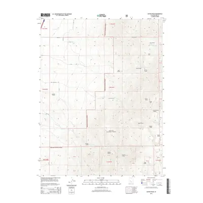
2014 Map of Coffee Peak
USGS Topo · Published 2014About this map
The Pahvant Range dominates this portion of the Fishlake National Forest in Millard County, rising toward the summit of Coffee Peak. This high-altitude landscape is defined by its drainage systems, where water sources like Indian Ranch Spring, Oak Spring, and Bennett Spring provide critical points of interest in an otherwise arid terrain. The map traces the descent of several watercourses, including Pioneer Cr and Wild Goose Cr, which carve deep canyons such as Dry Canyon and Spring Branch Canyon.
Find a feature on this map
43 named features on this map. Tap any name to fly to it.
Don’t see what you’re looking for? This feature index may not catch every label — zoom into the map to look around manually.
Map Details
Editions of this 2014 Coffee Peak Map
This is the sole edition of this map. No revisions or reprints were ever made.
Other maps of this area

1885 · Beaver
USGS Topo · 1:250,000

1885 · Sevier Desert
USGS Topo · 1:250,000

1953 · Richfield
USGS Topo · 1:250,000

1953 · Delta
USGS Topo · 1:250,000

1958 · Richfield
USGS Topo · 1:250,000

1958 · Delta
USGS Topo · 1:250,000

1961 · Fillmore
USGS Topo · 1:24,000

1961 · Mt. Catherine
USGS Topo · 1:24,000

1961 · Richfield
USGS Topo · 1:62,500

1962 · Delta
USGS Topo · 1:250,000