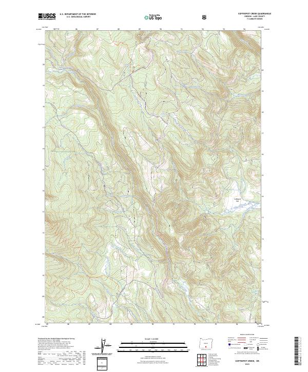
2023 Map of Coffeepot Creek
USGS Topo · Published 2023About this map
Mitchell Monument serves as a prominent historical waypoint in this high-elevation reach of the Fremont National Forest. The landscape is defined by a dense network of water sources and seasonal drainages, including Coffeepot Creek, Elder Creek, and Puppydog Creek, which feed into larger systems like the South Fork Coffeepot Creek. The topography is characterized by significant relief, descending into the broad Coffeepot Flat.
Find a feature on this map
40 named features on this map. Tap any name to fly to it.
Don’t see what you’re looking for? This feature index may not catch every label — zoom into the map to look around manually.
Map Details
Editions of this 2023 Coffeepot Creek Map
This is the sole edition of this map. No revisions or reprints were ever made.
Other maps of this area

1955 · Klamath Falls
USGS Topo · 1:250,000

1958 · Klamath Falls
USGS Topo · 1:250,000

1960 · Fishhole Mtn
USGS Topo · 1:62,500

1964 · Coleman Point
USGS Topo · 1:24,000

1964 · Shoestring Butte
USGS Topo · 1:24,000

1966 · Morgan Butte
USGS Topo · 1:24,000

1966 · Slide Mtn
USGS Topo · 1:24,000

1966 · Harvey Creek
USGS Topo · 1:24,000

1966 · Coffeepot Creek
USGS Topo · 1:24,000

1966 · Paisley
USGS Topo · 1:24,000