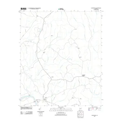
2011 Map of Coffeeville
USGS Topo · Published 2011About this map
The Tombigbee River forms the southwestern boundary of this area, where landmarks like Coffeeville Landing, Ball Bluff, and Nichols Landing mark the historical intersection of water and land travel. Settled inland from the river, Coffeeville serves as a central hub for the surrounding rural landscape, which is defined by a dense network of creeks including Ulcanush Creek and Eberline Mill Creek.
Find a feature on this map
49 named features on this map. Tap any name to fly to it.
Don’t see what you’re looking for? This feature index may not catch every label — zoom into the map to look around manually.
Map Details
Editions of this 2011 Coffeeville Map
This is the sole edition of this map. No revisions or reprints were ever made.
Other maps of this area

1953 · Andalusia
USGS Topo · 1:250,000

1953 · Hattiesburg
USGS Topo · 1:250,000

1957 · Andalusia
USGS Topo · 1:250,000

1958 · Hattiesburg
USGS Topo · 1:250,000

1971 · Coffeeville
USGS Topo · 1:24,000

1971 · Ararat
USGS Topo · 1:24,000

1971 · Bladon Springs
USGS Topo · 1:24,000

1971 · Coffeeville Lock And Dam
USGS Topo · 1:24,000

1972 · Tattlersville
USGS Topo · 1:24,000

1972 · Woods Bluff
USGS Topo · 1:24,000