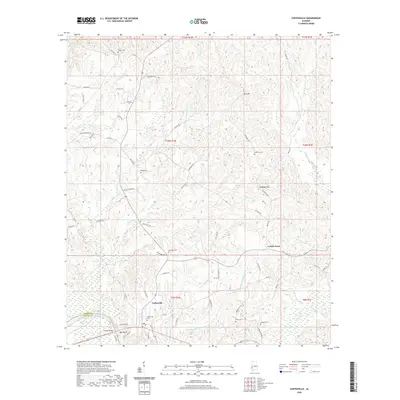
2020 Map of Coffeeville
USGS Topo · Published 2020About this map
Coffeeville and the surrounding river bluffs are documented in this modern survey, which details the complex drainage systems feeding the Tombigbee River. The terrain is defined by a series of named elevations such as Owl Hill, Dunagan Hill, and Ball Bluff, which rise above the many winding tributaries including Ulcanush Cr and Eberline Mill Cr. For those researching local family history, the map provides precise locations for several burial grounds, including Trotter Cem, Webb Cem, Anderson Cem, and Kiels Cem. The road network connects the main settlement of Coffeeville with outlying points like Center Point, utilizing a mix of rural routes and river crossings such as the Folsom Bridge. The landscape reflects a transition from the elevated timberlands and hills down to the low-lying creeks like Finland Cr and Salitpa Cr near the county line.
Find a feature on this map
69 named features on this map. Tap any name to fly to it.
Don’t see what you’re looking for? This feature index may not catch every label — zoom into the map to look around manually.
Map Details
Editions of this 2020 Coffeeville Map
This is the sole edition of this map. No revisions or reprints were ever made.
Other maps of this area

1953 · Andalusia
USGS Topo · 1:250,000

1953 · Hattiesburg
USGS Topo · 1:250,000

1957 · Andalusia
USGS Topo · 1:250,000

1958 · Hattiesburg
USGS Topo · 1:250,000

1971 · Coffeeville
USGS Topo · 1:24,000

1971 · Ararat
USGS Topo · 1:24,000

1971 · Bladon Springs
USGS Topo · 1:24,000

1971 · Coffeeville Lock And Dam
USGS Topo · 1:24,000

1972 · Tattlersville
USGS Topo · 1:24,000

1972 · Woods Bluff
USGS Topo · 1:24,000