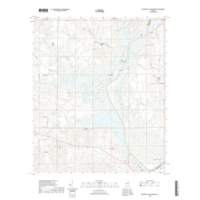
2018 Map of Coffeeville Lock And Dam
USGS Topo · Published 2018About this map
The Coffeeville Lock and Dam controls the flow of the Tombigbee River at the junction of Choctaw and Clarke counties. This riverine landscape is defined by its complex hydrology, featuring numerous named shoals and bars such as Osage Bar, Philans Shoal, and Thompsons Shoal. The settlement of Womack Hill sits inland on higher ground, connected by a network of local routes like Womack Hill Rd and Barrytown Rd. The area’s historical footprint is well-preserved through several family and community burial grounds, including Moores Cem and the West Bend Cem. Along the riverbanks, distinctive landmarks like McGregor Bluff and Secession Bluff mark the winding course of Coffeeville Lake, reflecting the region's reliance on the river for navigation and commerce.
Find a feature on this map
68 named features on this map. Tap any name to fly to it.
Don’t see what you’re looking for? This feature index may not catch every label — zoom into the map to look around manually.
Map Details
Editions of this 2018 Coffeeville Lock And Dam Map
This is the sole edition of this map. No revisions or reprints were ever made.
Other maps of this area

1953 · Hattiesburg
USGS Topo · 1:250,000

1958 · Hattiesburg
USGS Topo · 1:250,000

1971 · Coffeeville
USGS Topo · 1:24,000

1971 · Ararat
USGS Topo · 1:24,000

1971 · Bladon Springs
USGS Topo · 1:24,000

1971 · Coffeeville Lock And Dam
USGS Topo · 1:24,000

1972 · Tattlersville
USGS Topo · 1:24,000

1972 · Woods Bluff
USGS Topo · 1:24,000

1974 · Millry North
USGS Topo · 1:24,000

1974 · Silas
USGS Topo · 1:24,000