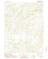
2021 Map of Coffey
USGS Topo · Published 2021About this map
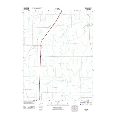
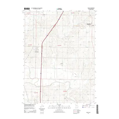
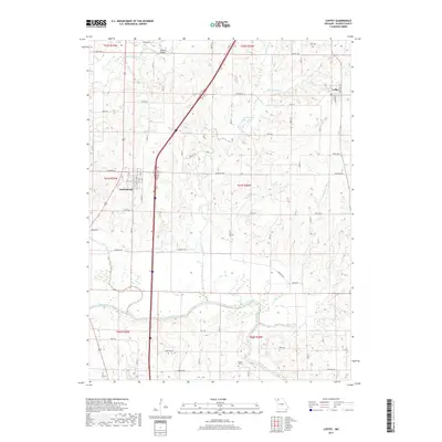
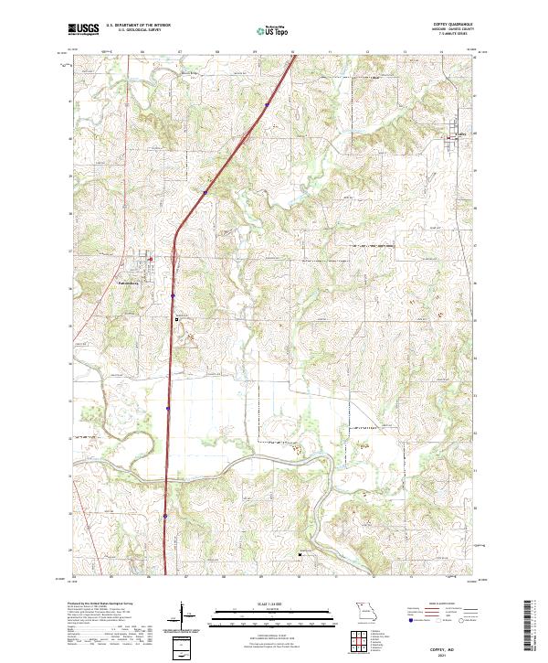
Pattonsburg and Coffey serve as the primary population centers in this rural Daviess County landscape, which is defined by the winding course of the Grand River and its numerous tributaries. The terrain is deeply carved by water, with Big Creek, Cypress Creek, and Hickory Cr creating a complex drainage pattern across the agricultural plains. The road network follows a rigid section-line grid, punctuated by local landmarks like Mooney Bridge and small rural burial grounds including Bethel Cem and Waters Cem. These features, along with the numerous named creeks like Little Cypress Cr and Brushy Cr, provide a clear view of the traditional land divisions and the persistent importance of the river valleys in shaping the local geography of northwest Missouri.
Find a feature on this map
33 named features on this map. Tap any name to fly to it.
Don’t see what you’re looking for? This feature index may not catch every label — zoom into the map to look around manually.
Map Details
Editions of this 2021 Coffey Map
This is the sole edition of this map. No revisions or reprints were ever made.
Historical Maps of Pattonsburg Through Time
5 maps found