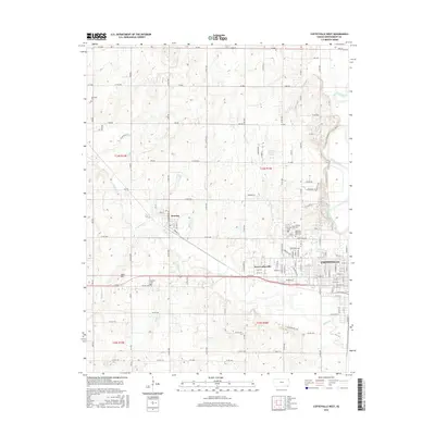
2016 Map of Coffeyville West
USGS Topo · Published 2016About this map
Dearing and the western outskirts of Coffeyville anchor this Montgomery County landscape, where the prairie begins to break into the drainage of the Verdigris River. The settlement pattern is defined by a dense grid of rural roads and numerous local burial grounds, reflecting generations of family residency in the region. Notable sites include Jefferson Cem in the northwest and a cluster of larger grounds near the city limits, such as Fairview Cem and Restlawn Memorial Park Cem.
Find a feature on this map
74 named features on this map. Tap any name to fly to it.
Don’t see what you’re looking for? This feature index may not catch every label — zoom into the map to look around manually.
Map Details
Editions of this 2016 Coffeyville West Map
This is the sole edition of this map. No revisions or reprints were ever made.
Other maps of this area

1886 · Independence
USGS Topo · 1:125,000

1894 · Independence
USGS Topo · 1:125,000

1901 · Nowata
USGS Topo · 1:125,000

1905 · Independence
USGS Topo · 1:125,000

1914 · Nowata
USGS Topo · 1:125,000

1947 · Joplin
USGS Topo · 1:250,000

1949 · Joplin
USGS Topo · 1:250,000

1954 · Tulsa
USGS Topo · 1:250,000

1954 · Joplin
USGS Topo · 1:250,000

1958 · Joplin
USGS Topo · 1:250,000