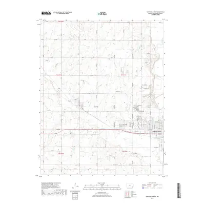
2018 Map of Coffeyville West
USGS Topo · Published 2018About this map
Coffeyville and its western suburbs anchor this 2018 topographic study of Montgomery County. The landscape is defined by the convergence of several major water systems, most notably the Verdigris River and the meandering path of Onion Cr, which flows through West Coffeyville. The map captures a mix of industrial grid patterns and rural cemeteries, such as the large Restlawn Memorial Park Cem and Fairview Cem on the outskirts of the city.
Find a feature on this map
74 named features on this map. Tap any name to fly to it.
Don’t see what you’re looking for? This feature index may not catch every label — zoom into the map to look around manually.
Map Details
Editions of this 2018 Coffeyville West Map
This is the sole edition of this map. No revisions or reprints were ever made.
Other maps of this area

1886 · Independence
USGS Topo · 1:125,000

1894 · Independence
USGS Topo · 1:125,000

1901 · Nowata
USGS Topo · 1:125,000

1905 · Independence
USGS Topo · 1:125,000

1914 · Nowata
USGS Topo · 1:125,000

1947 · Joplin
USGS Topo · 1:250,000

1949 · Joplin
USGS Topo · 1:250,000

1954 · Tulsa
USGS Topo · 1:250,000

1954 · Joplin
USGS Topo · 1:250,000

1958 · Joplin
USGS Topo · 1:250,000