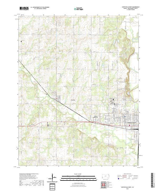
2022 Map of Coffeyville West
USGS Topo · Published 2022About this map
Coffeyville and its western surroundings are defined by the convergence of the Verdigris River and its multiple tributaries, including Sycamore Cr and Onion Cr. The landscape transitions from the residential grids of West Coffeyville and Dearing into rural sections marked by local landmarks like Allin Hill. This map is particularly dense with sites of interest for genealogists, featuring several burial grounds such as Robbins Cem, Jefferson Cem, and the cluster of Fairview Cem and Calvary Cem near the city's northwestern edge.
Find a feature on this map
119 named features on this map. Tap any name to fly to it.
Don’t see what you’re looking for? This feature index may not catch every label — zoom into the map to look around manually.
Map Details
Editions of this 2022 Coffeyville West Map
This is the sole edition of this map. No revisions or reprints were ever made.
Other maps of this area

1886 · Independence
USGS Topo · 1:125,000

1894 · Independence
USGS Topo · 1:125,000

1901 · Nowata
USGS Topo · 1:125,000

1905 · Independence
USGS Topo · 1:125,000

1914 · Nowata
USGS Topo · 1:125,000

1947 · Joplin
USGS Topo · 1:250,000

1949 · Joplin
USGS Topo · 1:250,000

1954 · Tulsa
USGS Topo · 1:250,000

1954 · Joplin
USGS Topo · 1:250,000

1958 · Joplin
USGS Topo · 1:250,000