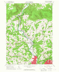
1965 Map of Cogan Station
USGS Topo · Published 1967About this map
Lycoming Creek carves a deep valley through this mid-1960s Pennsylvania landscape, serving as the primary corridor for both the Pennsylvania railroad and U.S. 15. The settlement pattern is concentrated along this waterway, transitioning from the dense residential grid of northern Williamsport into a series of smaller hamlets such as Cogan Station, Hepburnville, and Haleeka. The transition from urban to rural is sharp, with the northern reaches of the map dominated by named peaks like Scofield Mountain and Bobst Mountain.
Find a feature on this map
69 named features on this map. Tap any name to fly to it.
Don’t see what you’re looking for? This feature index may not catch every label — zoom into the map to look around manually.
Map Details
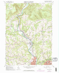
Editions of this 1965 Cogan Station Map
2 editions found
Other maps of this area

1921 · Williamsport
USGS Topo · 1:48,000

1921 · Trout Run
USGS Topo · 1:62,500

1923 · Trout Run
USGS Topo · 1:62,500

1923 · Williamsport
USGS Topo · 1:62,500

1924 · Milton
USGS Topo · 1:62,500

1930 · Warrensville
USGS Topo · 1:62,500

1934 · Warrensville
USGS Topo · 1:62,500

1944 · Trout Run
USGS Topo · 1:62,500

1944 · Williamsport
USGS Topo · 1:62,500

1953 · Warrensville
USGS Topo · 1:62,500
Featured Places
- Williamsport, PA
- Garden View, Old Lycoming Township
- Woodward Township, PA
- Cogan House Township, PA
- Old Lycoming Township, PA