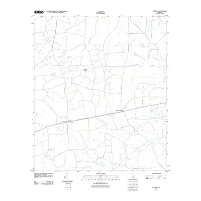
2011 Map of Cogdell
USGS Topo · Published 2011About this map
Cogdell and Hinson Crossing anchor this 2011 survey of the coastal plain in Ware County, Georgia. The landscape is defined by the headwaters of Suwannee Creek and the meandering Perch Creek, interspersed with local landmarks like Double Islands and Piney Bay. Long-established rural routes like Sycamore School Rd and Hargraves Church Rd point to the location of earlier community centers, while the Cogdell Post Office remains a focal point for the surrounding homesteads. The road network, including the Sessions Memorial Hwy and several roads named for local families such as Leland Bennett Rd and Folks-Bennett Rd, reflects the agricultural and timber-based character of the region. The drainage patterns of Camp Branch Creek and Coon Branch trace the low-lying terrain typical of this part of the state, where wide bays and small creeks dominate the geography.
Find a feature on this map
44 named features on this map. Tap any name to fly to it.
Don’t see what you’re looking for? This feature index may not catch every label — zoom into the map to look around manually.
Map Details
Editions of this 2011 Cogdell Map
This is the sole edition of this map. No revisions or reprints were ever made.
Other maps of this area

1953 · Waycross
USGS Topo · 1:250,000

1958 · Waycross
USGS Topo · 1:250,000

1967 · Pine Valley
USGS Topo · 1:24,000

1968 · Homerville East
USGS Topo · 1:24,000

1968 · Manor
USGS Topo · 1:24,000

1968 · Cogdell
USGS Topo · 1:24,000

1971 · Axson
USGS Topo · 1:24,000

1971 · Pearson
USGS Topo · 1:24,000

1971 · Talmo
USGS Topo · 1:24,000

1972 · Sandy Bottom
USGS Topo · 1:24,000