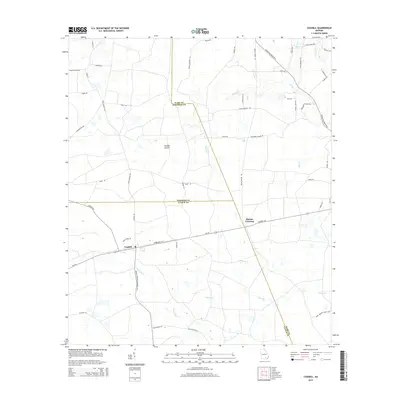
2014 Map of Cogdell
USGS Topo · Published 2014About this map
Cogdell and Hinson Crossing serve as the primary human touchpoints in this South Georgia landscape, where the borders of Ware, Atkinson, and Clinch counties meet. The terrain is defined by a network of slow-moving water, including Suwannee Cr and its tributaries like Camp Br Cr, which thread through the low-lying basin. Distinctive landforms such as Double Islands and the wetland expanse of Piney Bay characterize the local geography, reflecting the natural character of the coastal plain.
Find a feature on this map
57 named features on this map. Tap any name to fly to it.
Don’t see what you’re looking for? This feature index may not catch every label — zoom into the map to look around manually.
Map Details
Editions of this 2014 Cogdell Map
This is the sole edition of this map. No revisions or reprints were ever made.
Other maps of this area

1953 · Waycross
USGS Topo · 1:250,000

1958 · Waycross
USGS Topo · 1:250,000

1967 · Pine Valley
USGS Topo · 1:24,000

1968 · Homerville East
USGS Topo · 1:24,000

1968 · Manor
USGS Topo · 1:24,000

1968 · Cogdell
USGS Topo · 1:24,000

1971 · Axson
USGS Topo · 1:24,000

1971 · Pearson
USGS Topo · 1:24,000

1971 · Talmo
USGS Topo · 1:24,000

1972 · Sandy Bottom
USGS Topo · 1:24,000