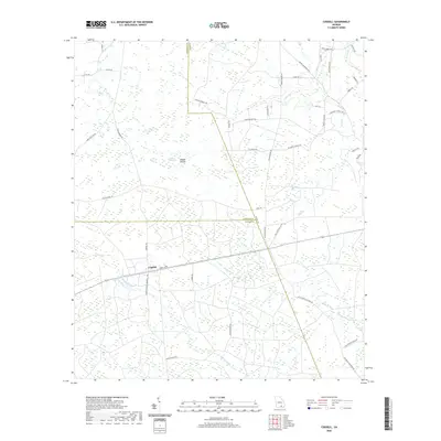
2020 Map of Cogdell
USGS Topo · Published 2020About this map
The settlement of Cogdell serves as the focal point for this survey of the Georgia lowlands, situated at the junction where Frank S Sessions Memorial Hwy and Annie-Laurie meet. The landscape is defined by the complex hydrology of the Suwannee River basin, featuring the winding course of Suwannee Cr and numerous named swampy depressions known locally as bays, such as Buzzard Bay, Cribb Bay, and Huckleberry Bay.
Find a feature on this map
52 named features on this map. Tap any name to fly to it.
Don’t see what you’re looking for? This feature index may not catch every label — zoom into the map to look around manually.
Map Details
Editions of this 2020 Cogdell Map
This is the sole edition of this map. No revisions or reprints were ever made.
Other maps of this area

1953 · Waycross
USGS Topo · 1:250,000

1958 · Waycross
USGS Topo · 1:250,000

1967 · Pine Valley
USGS Topo · 1:24,000

1968 · Homerville East
USGS Topo · 1:24,000

1968 · Manor
USGS Topo · 1:24,000

1968 · Cogdell
USGS Topo · 1:24,000

1971 · Axson
USGS Topo · 1:24,000

1971 · Pearson
USGS Topo · 1:24,000

1971 · Talmo
USGS Topo · 1:24,000

1972 · Sandy Bottom
USGS Topo · 1:24,000