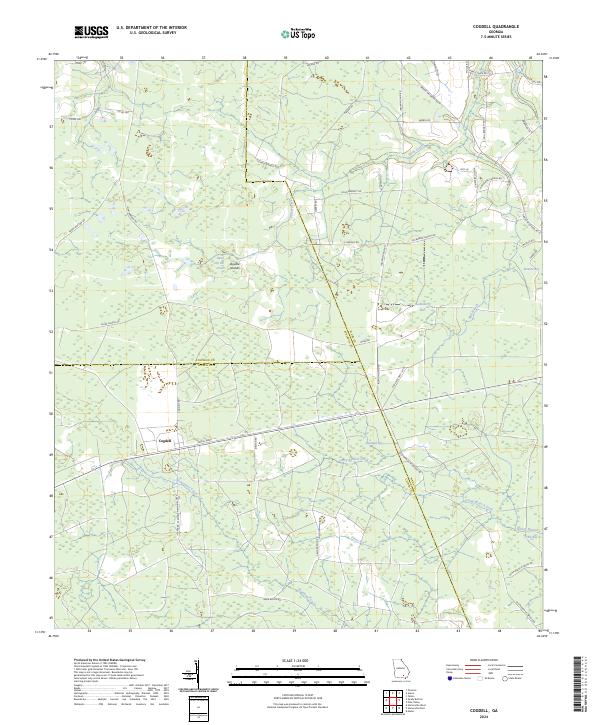
2024 Map of Cogdell
USGS Topo · Published 2024About this map
Cogdell serves as the primary settlement hub in this low-lying wetland landscape at the intersection of Atkinson, Clinch, and Ware Counties. The terrain is defined by a series of distinctive depressions and marshy basins known locally as bays, including Huckleberry Bay, Buzzard Bay, and Cribb Bay. These features, along with the Double Islands, suggest a complex hydrography where water slowly moves through the Suwannee Creek and Perch Creek systems.
Find a feature on this map
54 named features on this map. Tap any name to fly to it.
Don’t see what you’re looking for? This feature index may not catch every label — zoom into the map to look around manually.
Map Details
Editions of this 2024 Cogdell Map
This is the sole edition of this map. No revisions or reprints were ever made.
Other maps of this area

1953 · Waycross
USGS Topo · 1:250,000

1958 · Waycross
USGS Topo · 1:250,000

1967 · Pine Valley
USGS Topo · 1:24,000

1968 · Homerville East
USGS Topo · 1:24,000

1968 · Manor
USGS Topo · 1:24,000

1968 · Cogdell
USGS Topo · 1:24,000

1971 · Axson
USGS Topo · 1:24,000

1971 · Pearson
USGS Topo · 1:24,000

1971 · Talmo
USGS Topo · 1:24,000

1972 · Sandy Bottom
USGS Topo · 1:24,000