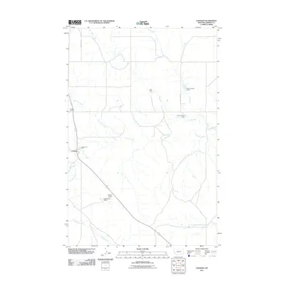
2011 Map of Cohagen
USGS Topo · Published 2011About this map
Cohagen serves as the primary settlement hub in this part of Garfield County, defined by its Cohagen Post Office and nearby Cohagen Cemetery. The landscape is a network of seasonal drainages and ranching improvements, where water management is critical to the local economy. This is evidenced by numerous livestock-oriented structures such as the Pluhar Number 1 Dam, Pluhar Number 2 Dam, and Petitt Dam. Physical landmarks like Phillips Buttes rise above the drainage basins of Little Dry Creek and Red Horse Creek. The presence of the Smith Ranch and its associated Smith Ranch 6 Dam illustrates the enduring cattle-ranching heritage of the Montana plains. Transportation across the area relies on established routes like Hay Creek Rd and East Little Dry Rd, connecting isolated ranchsteads with the central post office.
Find a feature on this map
17 named features on this map. Tap any name to fly to it.
Don’t see what you’re looking for? This feature index may not catch every label — zoom into the map to look around manually.
Map Details
Editions of this 2011 Cohagen Map
This is the sole edition of this map. No revisions or reprints were ever made.
Other maps of this area

1954 · Jordan
USGS Topo · 1:250,000

1954 · Forsyth
USGS Topo · 1:250,000

1956 · Jordan
USGS Topo · 1:250,000

1957 · Forsyth
USGS Topo · 1:250,000

1958 · Jordan
USGS Topo · 1:250,000

1958 · Forsyth
USGS Topo · 1:250,000

1964 · Jordan
USGS Topo · 1:250,000

1965 · Black Hills
USGS Topo · 1:24,000

1965 · Cohagen
USGS Topo · 1:24,000

1965 · Calamity Coulee
USGS Topo · 1:24,000