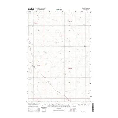
2014 Map of Cohagen
USGS Topo · Published 2014About this map
Cohagen serves as the central hub of this Garfield County landscape, where the local Po and the Cohagen Cem reflect a settled ranching community. The terrain is defined by a network of drainage systems, including Little Dry Cr and Red Horse Cr, which carve through the high plains. Elevation changes are marked by Phillips Buttes and the descent into Todd Coulee, illustrating the transition from open grazing land to more broken country. Transportation is primarily facilitated by MT-59, which intersects with local routes like Hay Creek Rd and Jerrel Rd. This survey documents the intersection of several townships and ranges, providing a clear view of the rural Montana land division system and the persistent watercourses like Duck Cr and Graveyard Cr that dictate the region's geography.
Find a feature on this map
21 named features on this map. Tap any name to fly to it.
Don’t see what you’re looking for? This feature index may not catch every label — zoom into the map to look around manually.
Map Details
Editions of this 2014 Cohagen Map
This is the sole edition of this map. No revisions or reprints were ever made.
Other maps of this area

1954 · Jordan
USGS Topo · 1:250,000

1954 · Forsyth
USGS Topo · 1:250,000

1956 · Jordan
USGS Topo · 1:250,000

1957 · Forsyth
USGS Topo · 1:250,000

1958 · Jordan
USGS Topo · 1:250,000

1958 · Forsyth
USGS Topo · 1:250,000

1964 · Jordan
USGS Topo · 1:250,000

1965 · Black Hills
USGS Topo · 1:24,000

1965 · Cohagen
USGS Topo · 1:24,000

1965 · Calamity Coulee
USGS Topo · 1:24,000