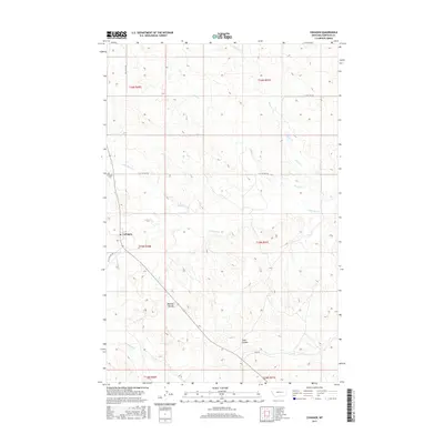
2017 Map of Cohagen
USGS Topo · Published 2017About this map
The unincorporated community of Cohagen anchors this survey of eastern Montana's high plains, reflecting a landscape defined by ranching and intermittent waterways. Situated in the heart of Garfield County, the townsite is supported by essential local landmarks including the Cohagen Cem and a network of gravel routes such as Hay Creek Rd and High Rd. The terrain is characterized by a complex drainage system where Little Dry Cr and its tributaries, including Duck Cr and Red Horse Cr, carve through the prairie. Geologic interest is found in the south at Phillips Buttes and the depression of Todd Coulee, while the evocative naming of Graveyard Cr suggests the deep local history of this sparsely populated cattle country. This map offers a clear look at the land division and water resources vital to life in this part of the Big Sky state.
Find a feature on this map
19 named features on this map. Tap any name to fly to it.
Don’t see what you’re looking for? This feature index may not catch every label — zoom into the map to look around manually.
Map Details
Editions of this 2017 Cohagen Map
This is the sole edition of this map. No revisions or reprints were ever made.
Other maps of this area

1954 · Jordan
USGS Topo · 1:250,000

1954 · Forsyth
USGS Topo · 1:250,000

1956 · Jordan
USGS Topo · 1:250,000

1957 · Forsyth
USGS Topo · 1:250,000

1958 · Jordan
USGS Topo · 1:250,000

1958 · Forsyth
USGS Topo · 1:250,000

1964 · Jordan
USGS Topo · 1:250,000

1965 · Black Hills
USGS Topo · 1:24,000

1965 · Cohagen
USGS Topo · 1:24,000

1965 · Calamity Coulee
USGS Topo · 1:24,000