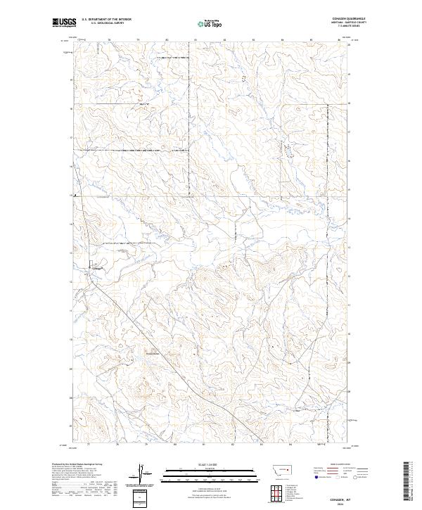
2024 Map of Cohagen
USGS Topo · Published 2024About this map
Cohagen sits along the southern edge of the Big Dry Creek drainage system, serving as a focal point in a landscape defined by an intricate network of seasonal watercourses. The drainage patterns are particularly dense here, with White Horse Creek and Red Horse Creek converging toward the wider valley of Little Dry Creek. This settlement pattern reflects the necessity of water access in Garfield County's rangelands, where roads like W Little Dry Rd and Hay Creek Rd follow the natural contours of the stream beds.
Find a feature on this map
18 named features on this map. Tap any name to fly to it.
Don’t see what you’re looking for? This feature index may not catch every label — zoom into the map to look around manually.
Map Details
Editions of this 2024 Cohagen Map
This is the sole edition of this map. No revisions or reprints were ever made.
Other maps of this area

1954 · Jordan
USGS Topo · 1:250,000

1954 · Forsyth
USGS Topo · 1:250,000

1956 · Jordan
USGS Topo · 1:250,000

1957 · Forsyth
USGS Topo · 1:250,000

1958 · Jordan
USGS Topo · 1:250,000

1958 · Forsyth
USGS Topo · 1:250,000

1964 · Jordan
USGS Topo · 1:250,000

1965 · Black Hills
USGS Topo · 1:24,000

1965 · Cohagen
USGS Topo · 1:24,000

1965 · Calamity Coulee
USGS Topo · 1:24,000