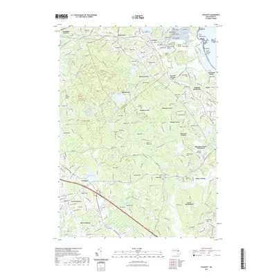
2021 Map of Cohasset
USGS Topo · Published 2021About this map
Cohasset and the surrounding South Shore communities are defined by a complex coastal landscape where the Weir River and Musquasheur Brook meet the Atlantic. The shoreline is a dense network of rocky outcrops and points, including Bryant Point, White Head, and the dangerous Hazards offshore from Minot. Inland, the terrain is characterized by numerous swamps like Great Swamp and Valley Swamp, interspersed with glacial hills such as Scituate Hill and Bear Hill.
Find a feature on this map
278 named features on this map. Tap any name to fly to it.
Don’t see what you’re looking for? This feature index may not catch every label — zoom into the map to look around manually.
Map Details
Editions of this 2021 Cohasset Map
This is the sole edition of this map. No revisions or reprints were ever made.
Other maps of this area

1885 · Abington
USGS Topo · 1:62,500

1885 · Duxbury
USGS Topo · 1:62,500

1888 · Duxbury
USGS Topo · 1:62,500

1888 · Abington
USGS Topo · 1:62,500

1892 · Boston Bay
USGS Topo · 1:62,500

1893 · Abington
USGS Topo · 1:62,500

1893 · Duxbury
USGS Topo · 1:62,500

1903 · Boston Bay
USGS Topo · 1:62,500

1918 · Duxbury
USGS Topo · 1:62,500

1920 · Abington
USGS Topo · 1:62,500