
1913 Map of Cohutta Mtn.
USGS Topo · Published 1913About this map
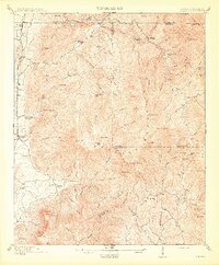
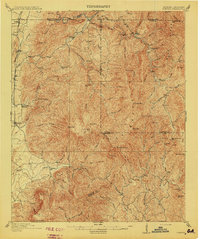
The Blue Ridge mountains dominate this 1911 survey of the Georgia-Tennessee borderlands, where the Conasauga River and Jacks River carve deep through the Cohutta wilderness. Low-lying settlements and industry are concentrated along the western edge, following the corridor of the Louisville & Nashville RR. Here, small communities like Crandall, Cisco, and Fairy served as gateways to the timber-rich uplands.
Find a feature on this map
92 named features on this map. Tap any name to fly to it.
Don’t see what you’re looking for? This feature index may not catch every label — zoom into the map to look around manually.
Map Details
Editions of this 1913 Cohutta Mtn. Map
3 editions found
Other maps of this area

1886 · Dalton
USGS Topo · 1:125,000

1886 · Cleveland
USGS Topo · 1:125,000

1888 · Ellijay
USGS Topo · 1:125,000

1892 · Cleveland
USGS Topo · 1:125,000

1892 · Ellijay
USGS Topo · 1:125,000

1892 · Dalton
USGS Topo · 1:125,000

1893 · Murphy
USGS Topo · 1:125,000

1895 · Cleveland
USGS Topo · 1:125,000

1897 · Dalton
USGS Topo · 1:125,000

1898 · Ellijay
USGS Topo · 1:125,000