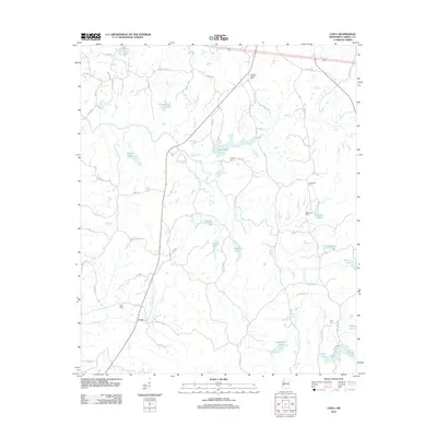
2012 Map of Coila
USGS Topo · Published 2012About this map
The small settlement of Coila and its surrounding countryside in Carroll County are defined by a network of small lakes and winding creeks. A landscape of rural crossroads is anchored by historical family and community sites, such as Coila Cem and Enon Cem. The topography is marked by numerous water bodies including Shackelford Lake, Gee Lake, and Burkhead Lake, which drain into larger systems like Pelucia Cr and Abotcaputa Cr.
Find a feature on this map
64 named features on this map. Tap any name to fly to it.
Don’t see what you’re looking for? This feature index may not catch every label — zoom into the map to look around manually.
Map Details
Editions of this 2012 Coila Map
This is the sole edition of this map. No revisions or reprints were ever made.
Other maps of this area

1936 · Greenwood
USGS Topo · 1:62,500

1940 · Seven Pines
USGS Topo · 1:62,500

1940 · Greenwood
USGS Topo · 1:62,500

1953 · Greenwood
USGS Topo · 1:250,000

1953 · West Point
USGS Topo · 1:250,000

1954 · McCarley
USGS Topo · 1:62,500

1956 · Greenwood
USGS Topo · 1:250,000

1957 · Greenwood
USGS Topo · 1:62,500

1957 · Seven Pines
USGS Topo · 1:62,500

1958 · West Point
USGS Topo · 1:250,000