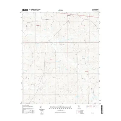
2015 Map of Coila
USGS Topo · Published 2015About this map
Carrollton sits at the northern edge of this Carroll County landscape, where the terrain begins its descent toward the drainage basins of Pelucia Creek and Coila Cr. This 2015 survey reveals a rural topography defined by small water bodies and dispersed homesteads, with the settlement of Coila appearing in the south along Coila Creek Rd. The map is particularly detailed regarding local burial grounds, which are scattered throughout the hills and creek bottoms. Genealogy researchers will find several family or community landmarks, including Oak Grove Cem and Foreman Cem near the center of the sheet, and Enon Cem in the southeast. Numerous small lakes, such as Shackelford Lake, Gee Lake, and Burkhead Lake, are tucked into the drainages, illustrating the heavily watered nature of this agricultural and timber region.
Find a feature on this map
34 named features on this map. Tap any name to fly to it.
Don’t see what you’re looking for? This feature index may not catch every label — zoom into the map to look around manually.
Map Details
Editions of this 2015 Coila Map
This is the sole edition of this map. No revisions or reprints were ever made.
Other maps of this area

1936 · Greenwood
USGS Topo · 1:62,500

1940 · Seven Pines
USGS Topo · 1:62,500

1940 · Greenwood
USGS Topo · 1:62,500

1953 · Greenwood
USGS Topo · 1:250,000

1953 · West Point
USGS Topo · 1:250,000

1954 · McCarley
USGS Topo · 1:62,500

1956 · Greenwood
USGS Topo · 1:250,000

1957 · Greenwood
USGS Topo · 1:62,500

1957 · Seven Pines
USGS Topo · 1:62,500

1958 · West Point
USGS Topo · 1:250,000