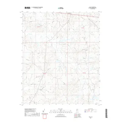
2020 Map of Coila
USGS Topo · Published 2020About this map
The unincorporated community of Coila serves as the focal point for this section of Carroll County, centered around the Coila PO and the historic Coila Cem. The landscape is defined by the winding course of Pelucia Creek and several significant tributaries, including Abotcaputa Cr and Ashley Cr. This 2020 survey reveals a rural area characterized by family-named landmarks and a dense network of county roads such as Providence Rd and Skating Rink Rd.
Find a feature on this map
71 named features on this map. Tap any name to fly to it.
Don’t see what you’re looking for? This feature index may not catch every label — zoom into the map to look around manually.
Map Details
Editions of this 2020 Coila Map
This is the sole edition of this map. No revisions or reprints were ever made.
Other maps of this area

1936 · Greenwood
USGS Topo · 1:62,500

1940 · Seven Pines
USGS Topo · 1:62,500

1940 · Greenwood
USGS Topo · 1:62,500

1953 · Greenwood
USGS Topo · 1:250,000

1953 · West Point
USGS Topo · 1:250,000

1954 · McCarley
USGS Topo · 1:62,500

1956 · Greenwood
USGS Topo · 1:250,000

1957 · Greenwood
USGS Topo · 1:62,500

1957 · Seven Pines
USGS Topo · 1:62,500

1958 · West Point
USGS Topo · 1:250,000