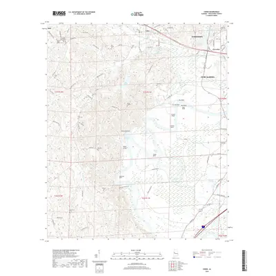
2018 Map of Coker
USGS Topo · Published 2018About this map
The Warrior Lake segment of the Black Warrior River winds through this territory west of Northport and Tuscaloosa, defining a landscape of dramatic river bends and diverse water bodies. The serpentine course of the river creates distinctive features like Snows Bend, Robinson Bend, and Marr Bend, which are flanked by bottomlands and significant landmarks such as Twelvemile Rock and Reed Bluff.
Find a feature on this map
107 named features on this map. Tap any name to fly to it.
Don’t see what you’re looking for? This feature index may not catch every label — zoom into the map to look around manually.
Map Details
Editions of this 2018 Coker Map
This is the sole edition of this map. No revisions or reprints were ever made.
Other maps of this area

1924 · Tuscaloosa
USGS Topo · 1:62,500

1926 · Samantha
USGS Topo · 1:48,000

1926 · Tuscaloosa
USGS Topo · 1:62,500

1928 · Samantha
USGS Topo · 1:62,500

1953 · Birmingham
USGS Topo · 1:250,000

1956 · Birmingham
USGS Topo · 1:250,000

1957 · Birmingham
USGS Topo · 1:250,000

1967 · Elrod
USGS Topo · 1:24,000
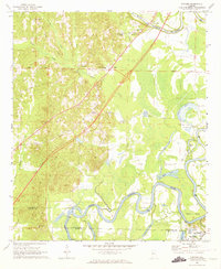
1969 · Fosters
USGS Topo · 1:24,000
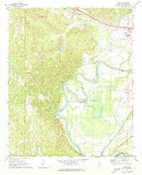
1969 · Coker
USGS Topo · 1:24,000