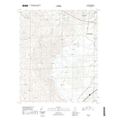
2020 Map of Coker
USGS Topo · Published 2020About this map
Coker and the western reaches of Tuscaloosa sit at a geographic transition where the Black Warrior River begins a series of deep, wandering loops. The river’s path is defined by distinctive landforms and navigational landmarks such as Twelvemile Rock, Snows Bend, and Clement Bend. These river features, including Warrior Lake, illustrate the historical importance of the waterway to the region's development.
Find a feature on this map
102 named features on this map. Tap any name to fly to it.
Don’t see what you’re looking for? This feature index may not catch every label — zoom into the map to look around manually.
Map Details
Editions of this 2020 Coker Map
This is the sole edition of this map. No revisions or reprints were ever made.
Other maps of this area
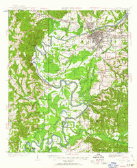
1924 · Tuscaloosa
USGS Topo · 1:62,500
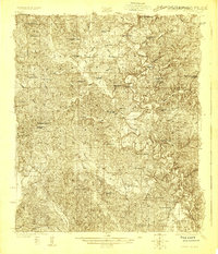
1926 · Samantha
USGS Topo · 1:48,000
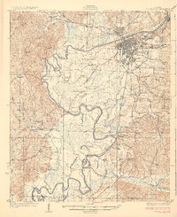
1926 · Tuscaloosa
USGS Topo · 1:62,500
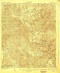
1928 · Samantha
USGS Topo · 1:62,500

1953 · Birmingham
USGS Topo · 1:250,000

1956 · Birmingham
USGS Topo · 1:250,000

1957 · Birmingham
USGS Topo · 1:250,000
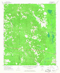
1967 · Elrod
USGS Topo · 1:24,000
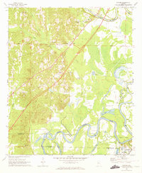
1969 · Fosters
USGS Topo · 1:24,000
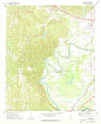
1969 · Coker
USGS Topo · 1:24,000