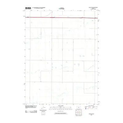
2009 Map of Colby SW
USGS Topo · Published 2009About this map
North Fork Solomon River and South Fork Solomon River course eastward through this stretch of High Plains in Thomas County, revealing the critical role of river systems in shaping the landscape of Western Kansas. In 2009, this area maintained a strictly grid-based rural structure, with an extensive network of local roads such as Co RD Q and Co RD I defining the agricultural divisions of the terrain. The presence of the Prairie Dog Creek in the northwest corner highlights the subtle drainage patterns that cross these flat uplands, where small surface depressions and ponds dot the fields between the major river forks. This map illustrates the intersection of modern transportation routes with long-established geological features, documenting the precise spatial organization of the modern Kansas farm country.
Find a feature on this map
16 named features on this map. Tap any name to fly to it.
Don’t see what you’re looking for? This feature index may not catch every label — zoom into the map to look around manually.
Map Details
Editions of this 2009 Colby SW Map
This is the sole edition of this map. No revisions or reprints were ever made.
Other maps of this area

1943 · Colby
USGS Topo · 1:62,500

1954 · Goodland
USGS Topo · 1:250,000

1956 · Goodland
USGS Topo · 1:250,000

1957 · Goodland
USGS Topo · 1:250,000

1966 · Brewster SE
USGS Topo · 1:24,000

1967 · Brewster NE
USGS Topo · 1:24,000

1967 · Colby SE
USGS Topo · 1:24,000

1967 · Levant
USGS Topo · 1:24,000

1967 · Colby SW
USGS Topo · 1:24,000

1967 · Colby
USGS Topo · 1:24,000