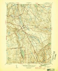
1945 Map of Colchester
USGS Topo · Published 1945About this map
Colchester serves as the primary hub of this wartime survey, situated at the crossroads of regional travel near the intersections of multiple township boundaries. The landscape is defined by its significant water bodies and drainage systems, including the large Amston Lake in the north and Lake Hayward to the south. Local history is etched into the terrain through various family-named junctions such as Cherry Corners and Milestone Corner, alongside specialized infrastructure like the Police Radio Mast and Water Tanks. For genealogists and researchers, the map provides precise locations for the Linwood Cem and Exeter Ch, as well as the remote Long Pond Cem. The transition from the rugged hills around Mill Hill to the wetlands of Dutton Swamp illustrates a varied New England topography shaped by the Salmon River and Deep River systems during the mid-1940s.
Find a feature on this map
44 named features on this map. Tap any name to fly to it.
Don’t see what you’re looking for? This feature index may not catch every label — zoom into the map to look around manually.
Map Details
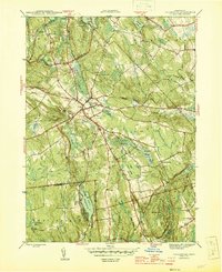
Editions of this 1945 Colchester Map
2 editions found
Other maps of this area

1892 · New London
USGS Topo · 1:62,500

1892 · Norwich
USGS Topo · 1:62,500

1892 · Gilead
USGS Topo · 1:62,500

1893 · New London
USGS Topo · 1:62,500

1893 · Saybrook
USGS Topo · 1:62,500

1921 · New London
USGS Topo · 1:62,500

1935 · Montville
USGS Topo · 1:24,000

1939 · Montville
USGS Topo · 1:31,680

1943 · Fitchville
USGS Topo · 1:31,680

1944 · Marlboro
USGS Topo · 1:31,680