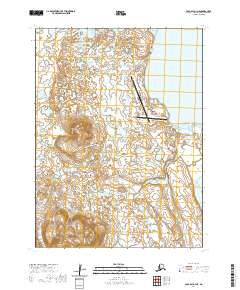
2020 Map of Cold Bay A-3 NE
USGS Topo · Published 2020About this map
Cold Bay serves as a critical infrastructure hub on the Alaska Peninsula, dominated by the expansive Cold Bay Airport and its network of supporting roads. The landscape transition from the wetlands surrounding Blue Bill Lake and Simeon Lake in the north to the rising elevation of Frosty Mountain Road in the south. Local history is anchored by markers such as the Cold Bay Trout Creek Cem and names like Livingston Homestead Road, indicating the intersection of strategic transportation and individual settlement. The intricate road system, including Windy Hill Loop and various FAA access routes, underscores the area's role in aviation and telecommunications within this coastal environment.
Find a feature on this map
30 named features on this map. Tap any name to fly to it.
Don’t see what you’re looking for? This feature index may not catch every label — zoom into the map to look around manually.
Map Details
Editions of this 2020 Cold Bay A-3 NE Map
This is the sole edition of this map. No revisions or reprints were ever made.
Other maps of this area

1943 · Fort Randall
USGS Topo · 1:250,000

1949 · Fort Randall
USGS Topo · 1:250,000

1950 · Fort Randall
USGS Topo · 1:250,000
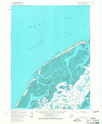
1963 · Cold Bay B-3
USGS Topo · 1:63,360
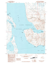
1995 · Cold Bay A-2
USGS Topo · 1:63,360
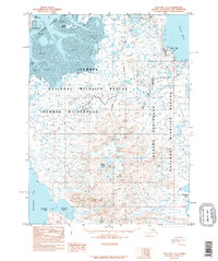
1995 · Cold Bay A-3
USGS Topo · 1:63,360
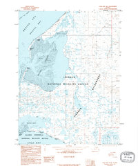
1995 · Cold Bay B-2
USGS Topo · 1:63,360
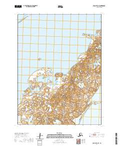
2020 · Cold Bay B-3 SE
USGS Topo · 1:25,000
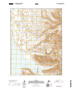
2020 · Cold Bay A-3 SW
USGS Topo · 1:25,000
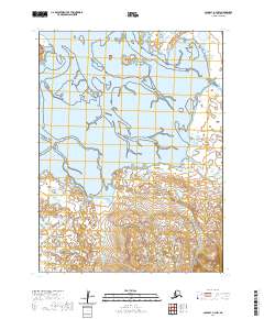
2020 · Cold Bay A-3 NW
USGS Topo · 1:25,000