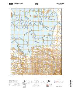
2020 Map of Cold Bay A-3 NW
USGS Topo · Published 2020About this map
Cape Glazenap and the surrounding coastal waters dominate this northern section of the Alaska Peninsula, where the land fragments into a complex network of wetlands and tidal inlets. The shoreline is characterized by protected waters around Cove Island, reflecting the shifting maritime geography of the Aleutians East Borough. Inland, the terrain rises steadily toward the south, away from the coastal flats. The only significant transit corridor through this landscape is Frosty Mountain Road, which cuts across the rising elevation in the southeastern corner of the quadrangle. This 2020 survey provides a detailed view of the local topography and township boundaries, including t57s r90w, within this isolated stretch of the peninsula.
Find a feature on this map
8 named features on this map. Tap any name to fly to it.
Don’t see what you’re looking for? This feature index may not catch every label — zoom into the map to look around manually.
Map Details
Editions of this 2020 Cold Bay A-3 NW Map
This is the sole edition of this map. No revisions or reprints were ever made.
Other maps of this area

1943 · Fort Randall
USGS Topo · 1:250,000

1949 · Fort Randall
USGS Topo · 1:250,000

1950 · Fort Randall
USGS Topo · 1:250,000
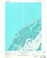
1963 · Cold Bay B-3
USGS Topo · 1:63,360
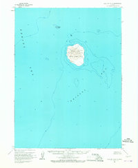
1963 · Cold Bay B-4
USGS Topo · 1:63,360
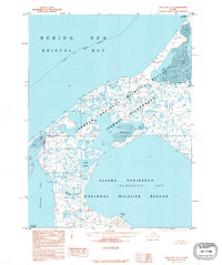
1995 · Cold Bay A-4
USGS Topo · 1:63,360
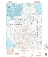
1995 · Cold Bay A-3
USGS Topo · 1:63,360
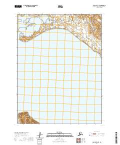
2020 · Cold Bay A-4 SE
USGS Topo · 1:25,000
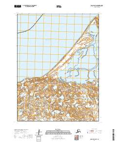
2020 · Cold Bay A-4 NE
USGS Topo · 1:25,000
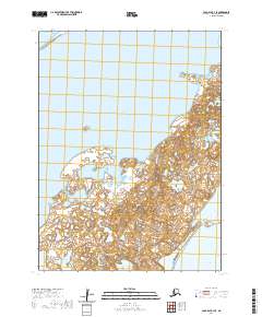
2020 · Cold Bay B-3 SE
USGS Topo · 1:25,000