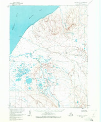
1963 Map of Cold Bay C-1
USGS Topo · Published 1972About this map
Bristol Bay and the Bering Sea define the northern shoreline of this remote coastal reach during the early 1960s. The landscape is dominated by the complex drainage of the Cathedral River, which winds through the wide Cathedral Valley toward the coast. To the west, the prominent Cape Leontovich juts into the sea, while the interior is marked by the elevations of Black Hill. This 1963 survey, compiled from aerial photography, illustrates a rugged terrain of unsurveyed land lines as predetermined by the Bureau of Land Management. The map shows an environment where water and earth are in constant flux, characterized by numerous unnamed lakes, ponds, and tidal flats that stretch between the river mouth and the southern reaches of North Creek.
Find a feature on this map
7 named features on this map. Tap any name to fly to it.
Don’t see what you’re looking for? This feature index may not catch every label — zoom into the map to look around manually.
Map Details
Editions of this 1963 Cold Bay C-1 Map
4 editions found
Other maps of this area

1943 · Fort Randall
USGS Topo · 1:250,000

1949 · Fort Randall
USGS Topo · 1:250,000

1950 · Fort Randall
USGS Topo · 1:250,000

1953 · Port Moller
USGS Topo · 1:250,000

1963 · Port Moller C-6
USGS Topo · 1:63,360
1963 · Cold Bay C-2
USGS Topo · 1:63,360
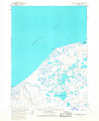
1963 · Port Moller D-6
USGS Topo · 1:63,360
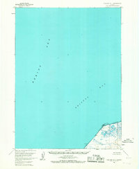
1963 · Cold Bay D-1
USGS Topo · 1:63,360
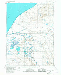
1963 · Cold Bay C-1
USGS Topo · 1:63,360

1983 · Port Moller B-6
USGS Topo · 1:63,360