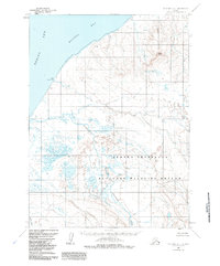
1963 Map of Cold Bay C-1
USGS Topo · Published 1985About this map
The Alaska Peninsula shoreline meets the cold waters of Bristol Bay in this mid-century topographic record. Dominating the lower half of the landscape is the Alaska Peninsula National Wildlife Refuge, an area defined by complex braided drainage systems and sprawling wetlands. The Cathedral River winds through its namesake Cathedral Valley, carrying glacial runoff toward the coast. Notable landmarks along the coastal margin include the prominent Cape Leontovich, while inland, the elevation rises sharply toward Black Hill. This map provides a technical view of the region's hydrology, including the path of North Creek and the numerous small ponds and lakes that characterize the peninsula's interior before it reaches the open Bering Sea.
Find a feature on this map
9 named features on this map. Tap any name to fly to it.
Don’t see what you’re looking for? This feature index may not catch every label — zoom into the map to look around manually.
Map Details
Editions of this 1963 Cold Bay C-1 Map
4 editions found
Other maps of this area

1943 · Fort Randall
USGS Topo · 1:250,000

1949 · Fort Randall
USGS Topo · 1:250,000

1950 · Fort Randall
USGS Topo · 1:250,000

1953 · Port Moller
USGS Topo · 1:250,000

1963 · Port Moller C-6
USGS Topo · 1:63,360
1963 · Cold Bay C-2
USGS Topo · 1:63,360
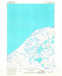
1963 · Port Moller D-6
USGS Topo · 1:63,360
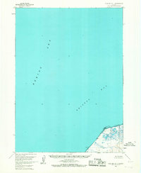
1963 · Cold Bay D-1
USGS Topo · 1:63,360
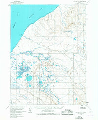
1963 · Cold Bay C-1
USGS Topo · 1:63,360

1983 · Port Moller B-6
USGS Topo · 1:63,360