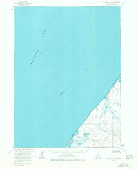
1963 Map of Cold Bay C-2
USGS Topo · Published 1972About this map
Izembek National Wildlife Range dominates the coastal landscape in this mid-century survey of the Alaska Peninsula’s northern shore. The terrain is defined by the meeting of the Bering Sea and Bristol Bay, where a vast Tidal Flat stretches along the coastline. This area is characterized by intricate water systems, including the meandering North Creek and Big Lake, which filter through the low-lying wetlands. Human presence is minimal, marked only by a solitary Cabin near the coast, suggesting a landscape used primarily for subsistence or conservation rather than permanent settlement. The interior rises toward the east, showing more complex topography labeled simply as Rough terrain. This map captures a pristine environment preserved as a wildlife range during a period of expanding federal environmental management in Alaska.
Find a feature on this map
8 named features on this map. Tap any name to fly to it.
Don’t see what you’re looking for? This feature index may not catch every label — zoom into the map to look around manually.
Map Details
Editions of this 1963 Cold Bay C-2 Map
2 editions found
Other maps of this area

1943 · Fort Randall
USGS Topo · 1:250,000
1944 · Cold Bay Sheet No. 1 of 25
USGS Topo · 1:25,000
1944 · Cold Bay Sheet No. 2 of 25
USGS Topo · 1:25,000

1949 · Fort Randall
USGS Topo · 1:250,000

1950 · Fort Randall
USGS Topo · 1:250,000
1963 · Cold Bay C-2
USGS Topo · 1:63,360
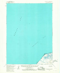
1963 · Cold Bay D-1
USGS Topo · 1:63,360
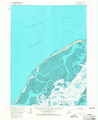
1963 · Cold Bay B-3
USGS Topo · 1:63,360
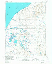
1963 · Cold Bay C-1
USGS Topo · 1:63,360
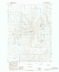
1983 · Cold Bay B-1
USGS Topo · 1:63,360