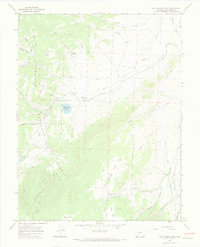
1965 Map of Cold Spring Park
USGS Topo · Published 1968About this map
Gunnison National Forest dominates this mid-1960s survey of Saguache County, revealing a high-altitude landscape of ranching and water management. Evidence of human activity is concentrated at sites like McDonough Ranch and the Old Agency Ranger Station, while a solitary Grave and a remote Landing Strip near Cochetopa Creek speak to the isolation of these mountain basins.
Find a feature on this map
38 named features on this map. Tap any name to fly to it.
Don’t see what you’re looking for? This feature index may not catch every label — zoom into the map to look around manually.
Map Details
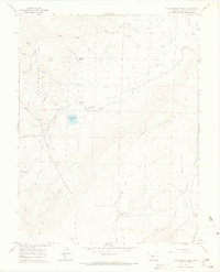
Editions of this 1965 Cold Spring Park Map
2 editions found
Other maps of this area

1956 · Montrose
USGS Topo · 1:250,000

1959 · Montrose
USGS Topo · 1:250,000

1960 · Montrose
USGS Topo · 1:250,000

1962 · Razor Creek Dome
USGS Topo · 1:24,000
1962 · Spring Hill Creek
USGS Topo · 1:24,000
1962 · Sawtooth Mountain
USGS Topo · 1:24,000
1965 · Elk Park
USGS Topo · 1:24,000
1965 · Stewart Peak
USGS Topo · 1:24,000
1965 · Rock Creek Park
USGS Topo · 1:24,000
1967 · Saguache Park
USGS Topo · 1:24,000