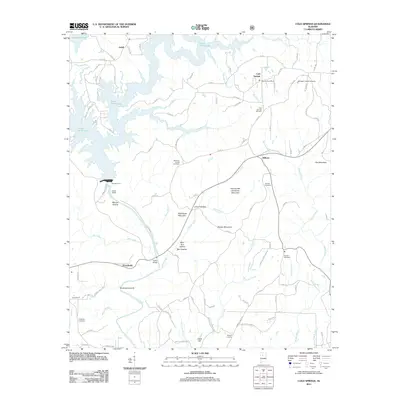
2011 Map of Cold Springs
USGS Topo · Published 2011About this map
The Lewis Smith Lake reservoir dominates the northwestern landscape of this 2011 survey, its dendritic fingers reaching deep into the drainage basins of the Sipsey Fork and Coon Creek. Moving inland from the water, the terrain transitions into a series of named ridges and hollows, including Hammonds Shinbone Mountain and Dooley Mountain. Local settlement patterns are defined by small crossroads and communities such as Ardell, Wilburn, and Powellville, often centered around family-named landmarks and rural institutions.
Find a feature on this map
109 named features on this map. Tap any name to fly to it.
Don’t see what you’re looking for? This feature index may not catch every label — zoom into the map to look around manually.
Map Details
Editions of this 2011 Cold Springs Map
This is the sole edition of this map. No revisions or reprints were ever made.
Other maps of this area

1888 · Cullman
USGS Topo · 1:125,000

1889 · Birmingham
USGS Topo · 1:125,000

1892 · Cullman
USGS Topo · 1:125,000

1892 · Birmingham
USGS Topo · 1:125,000

1893 · Jasper
USGS Topo · 1:125,000

1895 · Birmingham
USGS Topo · 1:125,000

1907 · Birmingham
USGS Topo · 1:125,000

1949 · Cordova
USGS Topo · 1:24,000

1949 · Sipsey
USGS Topo · 1:24,000

1949 · Cold Springs
USGS Topo · 1:24,000