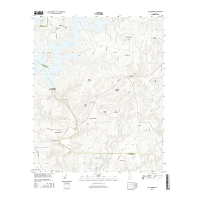
2014 Map of Cold Springs
USGS Topo · Published 2014About this map
The waters of Lewis Smith Lake reach into the northwestern corner of this Cullman County landscape, where the inlets of Bear Pen Br and Long Br define the local topography near Ardell. This 2014 survey documents the rural character of the region, anchored by small settlements like Cold Springs and Wilburn. The terrain is marked by numerous family-named landmarks and hollows, such as John R Hollow, Mary Ann Hollow, and Blevins Hollow, reflecting a long history of local land use and residency. Genealogists will find significant value in the distribution of community burial grounds, including Addington Chapel Cem, McKinley Chapel Cem, and Shady Grove Cem. To the south, the Sipsey Fork flows toward the Walker County line, passing geographic features like Leeth Hill and the appropriately named Banking Grounds near Powellville.
Find a feature on this map
117 named features on this map. Tap any name to fly to it.
Don’t see what you’re looking for? This feature index may not catch every label — zoom into the map to look around manually.
Map Details
Editions of this 2014 Cold Springs Map
This is the sole edition of this map. No revisions or reprints were ever made.
Other maps of this area

1888 · Cullman
USGS Topo · 1:125,000

1889 · Birmingham
USGS Topo · 1:125,000

1892 · Cullman
USGS Topo · 1:125,000

1892 · Birmingham
USGS Topo · 1:125,000

1893 · Jasper
USGS Topo · 1:125,000

1895 · Birmingham
USGS Topo · 1:125,000

1907 · Birmingham
USGS Topo · 1:125,000

1949 · Cordova
USGS Topo · 1:24,000

1949 · Sipsey
USGS Topo · 1:24,000

1949 · Cold Springs
USGS Topo · 1:24,000