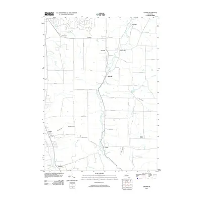
2010 Map of Colden
USGS Topo · Published 2010About this map
West Branch Cazenovia Creek serves as a central artery through this Erie County landscape, winding south-to-north through the hamlets of Colden and West Falls. The settlement pattern reflects the traditional transition from clustered villages to outlying agricultural homesteads, with larger nodes at Griffins Mills and Boston. Significant topographical variations are evident in features like Blanchard Hill and the ravine of Anthony Gulf near Patchin. Genealogists will find notable value in the detailed locations of burial grounds such as Maple Wood Cemetery, Saint Johns Cemetery, and the remote Partridge Cemetery along Partridge Rd. The road network, including historic routes like Boston Colden Rd and Chestnut Ridge Rd, connects these communities while following the natural contours of East Hill and East Boston Hill.
Find a feature on this map
70 named features on this map. Tap any name to fly to it.
Don’t see what you’re looking for? This feature index may not catch every label — zoom into the map to look around manually.
Map Details
Editions of this 2010 Colden Map
This is the sole edition of this map. No revisions or reprints were ever made.
Other maps of this area

1894 · Buffalo
USGS Topo · 1:62,500

1901 · Buffalo
USGS Topo · 1:62,500

1905 · Depew
USGS Topo · 1:62,500

1905 · Eden
USGS Topo · 1:62,500

1907 · Eden
USGS Topo · 1:62,500

1925 · Springville
USGS Topo · 1:62,500

1944 · Eden
USGS Topo · 1:62,500

1944 · Hamburg
USGS Topo · 1:31,680

1944 · Langford
USGS Topo · 1:31,680

1948 · Hamburg
USGS Topo · 1:24,000