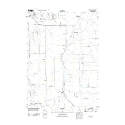
2013 Map of Colden
USGS Topo · Published 2013About this map
West Br Cazenovia Cr and Pipe Cr carve through the landscape south of Orchard Park, defining the settlement patterns of this Erie County region. The hamlets of West Falls and Colden serve as central points along these waterways, where local history is anchored by Maple Wood Cem and Partridge Cem. The terrain rises significantly at East Boston Hill and Blanchard Hill, overlooking a mix of residential expansion and rural open space. The presence of Hilltop Airport near Finch Rd and the Orchard Park Reservoir near Enos Hollow shows how the local infrastructure was managed in the early 21st century. Further south, the community of Boston and landmarks like Saint Johns Cem near Eighteenmile Cr illustrate the enduring geographic footprint of these Southtowns settlements.
Find a feature on this map
135 named features on this map. Tap any name to fly to it.
Don’t see what you’re looking for? This feature index may not catch every label — zoom into the map to look around manually.
Map Details
Editions of this 2013 Colden Map
This is the sole edition of this map. No revisions or reprints were ever made.
Other maps of this area

1894 · Buffalo
USGS Topo · 1:62,500

1901 · Buffalo
USGS Topo · 1:62,500

1905 · Depew
USGS Topo · 1:62,500

1905 · Eden
USGS Topo · 1:62,500

1907 · Eden
USGS Topo · 1:62,500

1925 · Springville
USGS Topo · 1:62,500

1944 · Eden
USGS Topo · 1:62,500

1944 · Hamburg
USGS Topo · 1:31,680

1944 · Langford
USGS Topo · 1:31,680

1948 · Hamburg
USGS Topo · 1:24,000