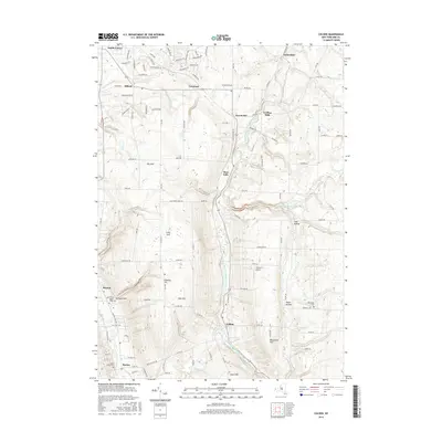
2016 Map of Colden
USGS Topo · Published 2016About this map
West Branch Cazenovia Creek serves as the primary drainage through this part of Erie County, carving a valley that anchors settlements such as West Falls and Colden. The landscape is defined by its deep ravines and distinct uplands, including Big Gulf, Irish Gulf, and E Boston Hill. These geological formations dictated the original layout of travel routes like Cole Rd and Scherff Rd, which skirt the edges of the high terrain.
Find a feature on this map
117 named features on this map. Tap any name to fly to it.
Don’t see what you’re looking for? This feature index may not catch every label — zoom into the map to look around manually.
Map Details
Editions of this 2016 Colden Map
This is the sole edition of this map. No revisions or reprints were ever made.
Other maps of this area

1894 · Buffalo
USGS Topo · 1:62,500

1901 · Buffalo
USGS Topo · 1:62,500

1905 · Depew
USGS Topo · 1:62,500

1905 · Eden
USGS Topo · 1:62,500

1907 · Eden
USGS Topo · 1:62,500

1925 · Springville
USGS Topo · 1:62,500

1944 · Eden
USGS Topo · 1:62,500

1944 · Hamburg
USGS Topo · 1:31,680

1944 · Langford
USGS Topo · 1:31,680

1948 · Hamburg
USGS Topo · 1:24,000