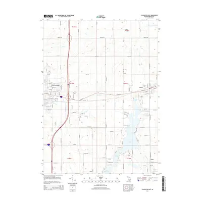
2014 Map of Coldwater East
USGS Topo · Published 2014About this map
Coldwater and Quincy anchor this eastern Branch County landscape, where the street grids and residential expansions of the early 21st century meet a complex system of glacial lakes and river valleys. The Sauk River threads through the center of the sheet, connecting several water bodies including First Lake and the expansive Marble Lake. The map reveals a high concentration of recreational and residential development along the shorelines of Middle Lake, Archer Lake, and Lake Bartholomew, contrasting with the more linear agricultural patterns defined by Jonesville Rd and Newton Rd to the north.
Find a feature on this map
112 named features on this map. Tap any name to fly to it.
Don’t see what you’re looking for? This feature index may not catch every label — zoom into the map to look around manually.
Map Details
Editions of this 2014 Coldwater East Map
This is the sole edition of this map. No revisions or reprints were ever made.
Other maps of this area

1918 · Union City
USGS Topo · 1:62,500

1947 · Union City
USGS Topo · 1:62,500

1948 · Homer
USGS Topo · 1:62,500

1949 · Homer
USGS Topo · 1:62,500

1950 · Union City
USGS Topo · 1:62,500

1953 · Fort Wayne
USGS Topo · 1:250,000

1956 · Fort Wayne
USGS Topo · 1:250,000

1958 · Grand Rapids
USGS Topo · 1:250,000

1960 · Coldwater West
USGS Topo · 1:24,000

1960 · Coldwater East
USGS Topo · 1:24,000