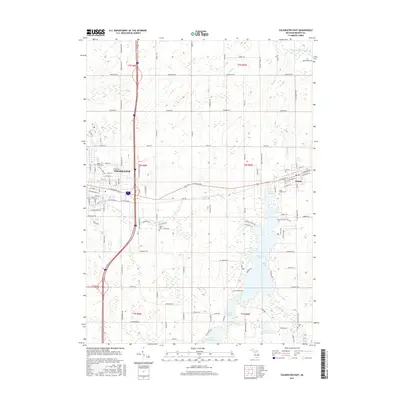
2017 Map of Coldwater East
USGS Topo · Published 2017About this map
Coldwater and the village of Quincy anchor this Branch County landscape, where the eastern reaches of the city meet a dense chain of glacial lakes. The waterway system of the Sauk River connects a series of prominent recreational and residential water bodies, including the expansive Marble Lake, Lake Bartholomew, and Archer Lake. This network of lakes has long defined the local geography, influencing the placement of early travel routes like E Chicago Rd and the historic S Sauk Trl.
Find a feature on this map
72 named features on this map. Tap any name to fly to it.
Don’t see what you’re looking for? This feature index may not catch every label — zoom into the map to look around manually.
Map Details
Editions of this 2017 Coldwater East Map
This is the sole edition of this map. No revisions or reprints were ever made.
Other maps of this area

1918 · Union City
USGS Topo · 1:62,500

1947 · Union City
USGS Topo · 1:62,500

1948 · Homer
USGS Topo · 1:62,500

1949 · Homer
USGS Topo · 1:62,500

1950 · Union City
USGS Topo · 1:62,500

1953 · Fort Wayne
USGS Topo · 1:250,000

1956 · Fort Wayne
USGS Topo · 1:250,000

1958 · Grand Rapids
USGS Topo · 1:250,000

1960 · Coldwater West
USGS Topo · 1:24,000

1960 · Coldwater East
USGS Topo · 1:24,000