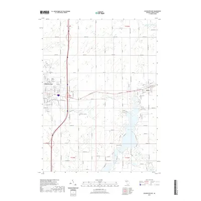
2019 Map of Coldwater East
USGS Topo · Published 2019About this map
Coldwater serves as the primary urban hub on this Branch County landscape, where the convergence of E Chicago St and the Interstate highway system shapes the modern character of the region. The city’s history is anchored by landmarks like Kellogg Community College and the Morse Street Cem, while the surrounding township is defined by a dense network of glacial lakes and waterways. The Sauk River flows through the central terrain, linking several smaller water bodies before reaching the expansive waters of Marble Lake and Archer Lake to the south.
Find a feature on this map
75 named features on this map. Tap any name to fly to it.
Don’t see what you’re looking for? This feature index may not catch every label — zoom into the map to look around manually.
Map Details
Editions of this 2019 Coldwater East Map
This is the sole edition of this map. No revisions or reprints were ever made.
Other maps of this area

1918 · Union City
USGS Topo · 1:62,500

1947 · Union City
USGS Topo · 1:62,500

1948 · Homer
USGS Topo · 1:62,500

1949 · Homer
USGS Topo · 1:62,500

1950 · Union City
USGS Topo · 1:62,500

1953 · Fort Wayne
USGS Topo · 1:250,000

1956 · Fort Wayne
USGS Topo · 1:250,000

1958 · Grand Rapids
USGS Topo · 1:250,000

1960 · Coldwater West
USGS Topo · 1:24,000

1960 · Coldwater East
USGS Topo · 1:24,000