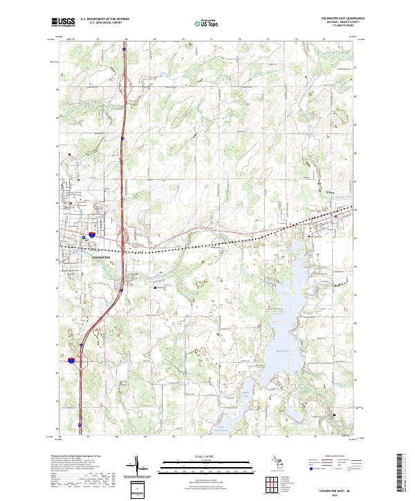
2023 Map of Coldwater East
USGS Topo · Published 2023About this map
Coldwater serves as the western anchor of this landscape, where residential streets like Morse St and Seeley St meet the academic presence of the Kellogg Community College Grahl Center. The terrain is defined by a dense chain of lakes and waterways, including Marble Lake, Archer Lake, and Middle Lake, which are interconnected by channels like Fisher Creek. These water bodies dominate the eastern half of the map, illustrating the post-war transition toward residential lakefront development near Quincy.
Find a feature on this map
125 named features on this map. Tap any name to fly to it.
Don’t see what you’re looking for? This feature index may not catch every label — zoom into the map to look around manually.
Map Details
Editions of this 2023 Coldwater East Map
This is the sole edition of this map. No revisions or reprints were ever made.
Other maps of this area

1918 · Union City
USGS Topo · 1:62,500

1947 · Union City
USGS Topo · 1:62,500

1948 · Homer
USGS Topo · 1:62,500

1949 · Homer
USGS Topo · 1:62,500

1950 · Union City
USGS Topo · 1:62,500

1953 · Fort Wayne
USGS Topo · 1:250,000

1956 · Fort Wayne
USGS Topo · 1:250,000

1958 · Grand Rapids
USGS Topo · 1:250,000

1960 · Coldwater West
USGS Topo · 1:24,000

1960 · Coldwater East
USGS Topo · 1:24,000